QuantumRonics Space & Data Systems

QuantumRonics

Space & Data Systems

Scroll Down

About US

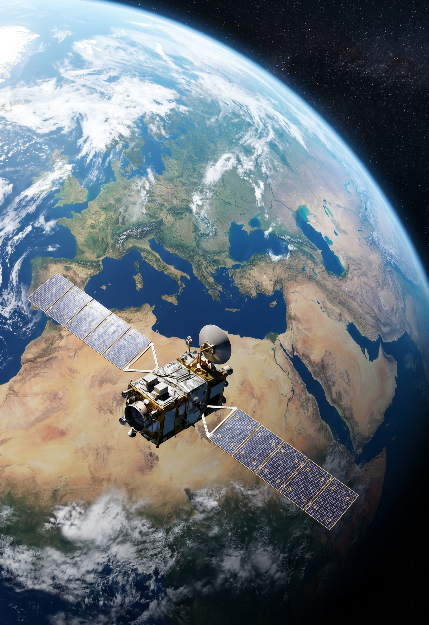
QuantumRonics Space & Data Systems delivers high-resolution satellite imagery and Earth observation solutions powered by advanced SAR technology, enabling reliable data capture through clouds, smoke, and darkness. The platform provides accurate geospatial intelligence for government and commercial sectors, supporting infrastructure monitoring, urban planning, precision agriculture, environmental management, disaster response, and sustainable development through scalable, cost-effective imaging solutions.

Our Mission

To deliver reliable, high-performance, and cost-effective satellite imagery that empowers informed decision-making and enhances situational awareness.

Our Vision

To be a trusted provider of accessible, affordable, and reliable satellite imagery for smarter planning, security, and resilient development.

SAR Capabilities - Complete Stack

Capabilities & Services

Advanced SAR technology for global observation.

01

High-Resolution Imagery

Precision radar data up to 3-metre resolution in Stripmap mode for detailed ground analysis and mission-critical observation.

02

Wide-Area Coverage

Flexible imaging scales from localised targets to broad regional surveillance — swath width 20 km to 400 km.

03

Multiple Imaging Modes

Single, Dual, and Full Quad-pol polarisation. Stripmap, ScanSAR, Spotlight, and Sliding Spotlight modes supported.

04

Near Real-Time Tasking

Rapid repoint capability for urgent acquisition. 4–8 day revisit with constellation configuration for higher frequencies.

05

Elevation & Terrain Data

Digital Elevation Models, Digital Surface Models, and topographic mapping using SAR Interferometry (InSAR).

06

All-Weather Penetration

L-band 1.25 GHz penetrates cloud cover, smoke, and total darkness — ensuring 24/7 uninterrupted data.

PRIMARY APPLICATIONS

  • Disaster
    Management

  • Forestry &
    Agriculture

  • Geological
    Mapping

  • Maritime
    Safety

  • Monitoring

    Disaster Management

    Real-time tracking of floods, landslides, and earthquake damage, maintaining visibility through dense cloud cover.

  • Conservation

    Forestry & Agriculture

    Precise biomass estimation and deforestation tracking. High-fidelity data for crop health and yield optimization.

  • Analysis

    Geology

    Structural feature identification and surface deformation analysis. Utilizing InSAR to monitor shifts with millimeter precision.

  • Security

    Maritime

    Automated ship detection and oil spill monitoring to protect global trade routes and marine ecosystems.

Technical Specifications

Feature Specifications
Orbit Type Sun-Synchronous Orbit (SSO)
Altitude ~600 km
Frequency Band L-band (1.25 GHz)
Polarization Single, Dual, Full (Quad-pol)
Resolution Up to 3 meters (Stripmap)
Swath Width 20 km to 400 km
Revisit Time ~4-8 days

Supported Data Products

VHR Optical SAR DOM DSM IR Hyperspectral DEM 3D Model VHR Optical SAR DOM DSM IR Hyperspectral DEM 3D Model
Scroll to Top